|
When it comes to land surveying, effective use of software can help create accuracy and user-friendliness. I have knowledge of industry standard surveying software, including:
A licensed and insured professional land surveyor, Patrick works with homeowners, developers, construction companies, civil engineers, real estate agents, mortgage departments at local banks and insurance agents.
Contact him at 504-858-1720 or [email protected] to start a surveying project, or find Patrick M. Haley Land Surveyor online at www.pmhlandsurveyor.com or on Facebook at Facebook.com/pmhlandsurveyor.
0 Comments
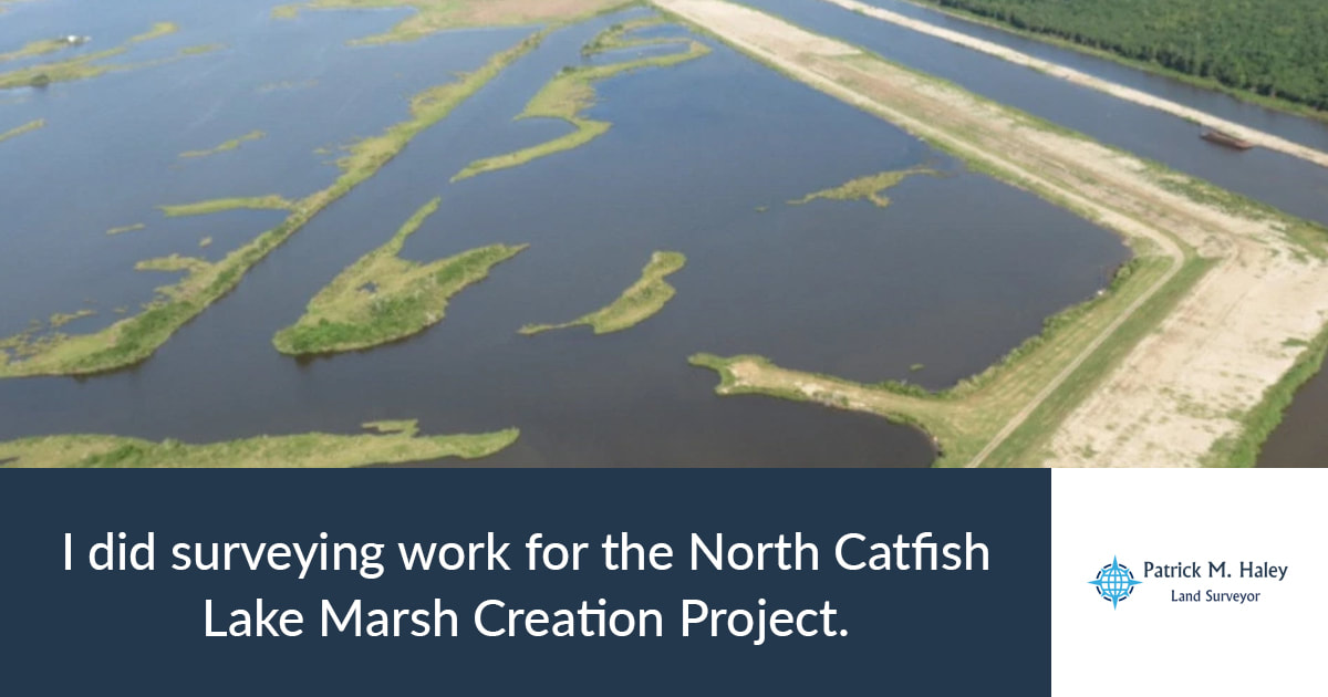
Surveying work can help produce positive environmental impacts. This was the case with the North Catfish Lake Marsh Creation Project, which is currently building 60 acres of new marshland in Golden Meadow, La. [More information on the project.]
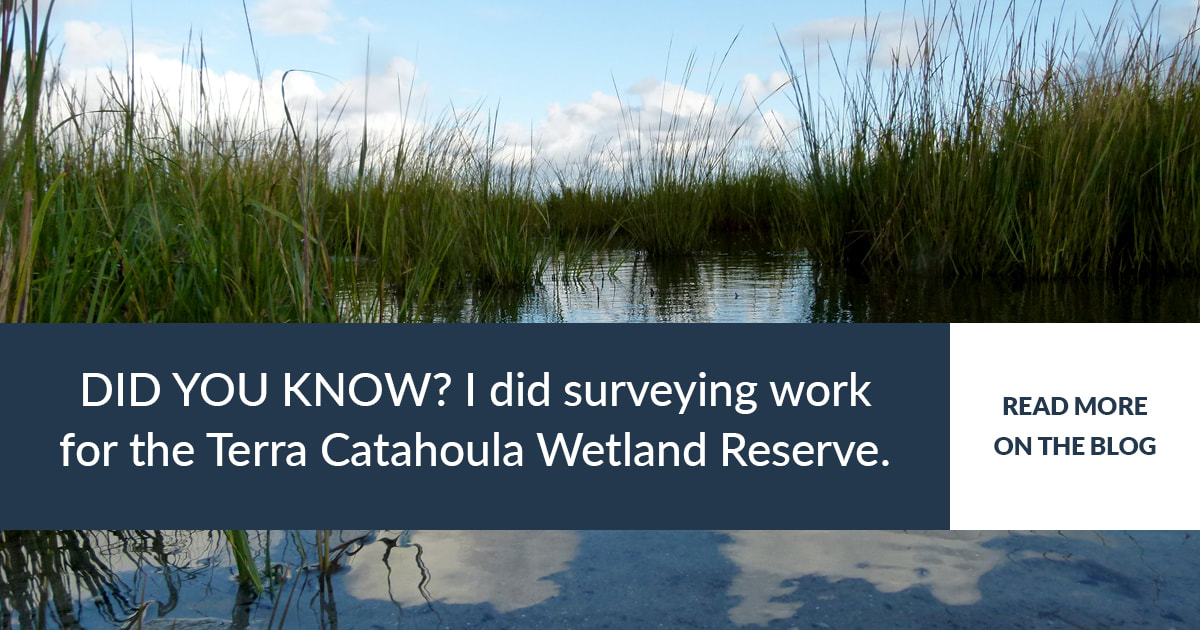
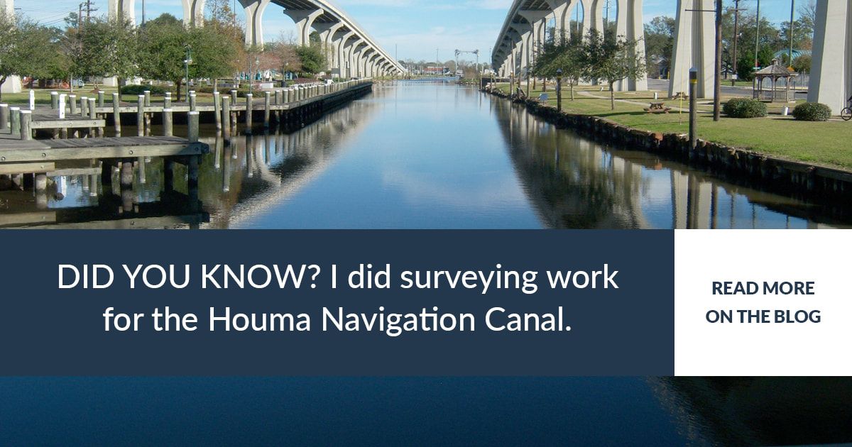
I was part of the project team which gathered preliminary survey data for this project, which helps restore the area between Catfish Lake and the South Lafourche Levee System. It's a local project funded in part by the Louisiana Coastal Protection and Restoration Authority. The main goal was to collect bathymetric survey data, which looks at the water bottoms to identify depths and search for potential underground utility hazards. I coordinated with field personnel to ensure data was being gathered correctly. I also assisted with drafting the data collection and methodology report. Our tools were side scan sonar and a magnetometer – which use sound waves and magnetism respectively – to measure Catfish Lake's lakebed. All magnetic anomaly locations deemed hazardous were further investigated by a conventional survey crew. That crew used a gradiometer and jet probe, and the areas were mapped accordingly. A licensed and insured professional land surveyor, Patrick works with homeowners, developers, construction companies, civil engineers, real estate agents, mortgage departments at local banks and insurance agents. Contact him at 504-858-1720 or [email protected] to start a surveying project, or find Patrick M. Haley Land Surveyor online at www.pmhlandsurveyor.com or on Facebook at Facebook.com/pmhlandsurveyor. Surveying Experience: Terra Catahoula Wetland Reserve Program in Catahoula Parish, Louisiana10/4/2017  I served as the federally subcontracted survey project manager for the Natural Resources Conservation Service for the Wetland Reserve Program in Louisiana. The survey team in this case was tasked with creating easement boundaries according to a proposed design. This required extensive research and direction to ensure the accuracy of the perimeter. As part of this project, I got experience researching court records as well as completing field work. The Terra Catahoula encompassed more than 1,000 acres of rural property and required extensive on-the-ground surveying and research. The final boundary survey was delivered under my professional license and included a digital format, paper format and GIS shapefile. A licensed and insured professional land surveyor, Patrick works with homeowners, developers, construction companies, civil engineers, real estate agents, mortgage departments at local banks and insurance agents. Contact him at 504-858-1720 or [email protected] to start a surveying project, or find Patrick M. Haley Land Surveyor online at www.pmhlandsurveyor.com or on Facebook at Facebook.com/pmhlandsurveyor.  My experience as a surveyor includes preliminary surveying work for the Houma Navigation Canal Lock Complex in Houma, Louisiana I lead and managed the preliminary survey team for the Houma Navigation Canal Lock Complex at T. Baker Smith, which was subcontracted through Chicago Bridge and Iron Company. I gathered the topographic data needed for the design engineer team to model existing canal conditions at the proposed location. This entailed a conventional survey crew gathering land and marsh topographic features; a bathymetric survey crew utilizing both single beam and multi-beam (with side scan sonar) to map out the channel and existing structure bottoms; and a survey crew performing a Magnetometer survey (on both land and water) to search for any potential underground utility hazards within the project limits. Permanent survey benchmarks were set for use throughout construction, and all data were constrained to a Louisiana Coastal Protection and Restoration Authority network adjustment. Preliminary survey deliverables were prepared in both digital and paper format. A licensed and insured professional land surveyor, Patrick works with homeowners, developers, construction companies, civil engineers, real estate agents, mortgage departments at local banks and insurance agents. Contact him at 504-858-1720 or [email protected] to start a surveying project, or find Patrick M. Haley Land Surveyor online atwww.pmhlandsurveyor.com or on Facebook at Facebook.com/pmhlandsurveyor. |
About
|
Patrick M. Haley Land Surveyor.
|
HoursM-F: 7am - 4pm
|
Telephone |
|
Copyright 2017 Patrick M. Haley Land Surveyor LLC |


